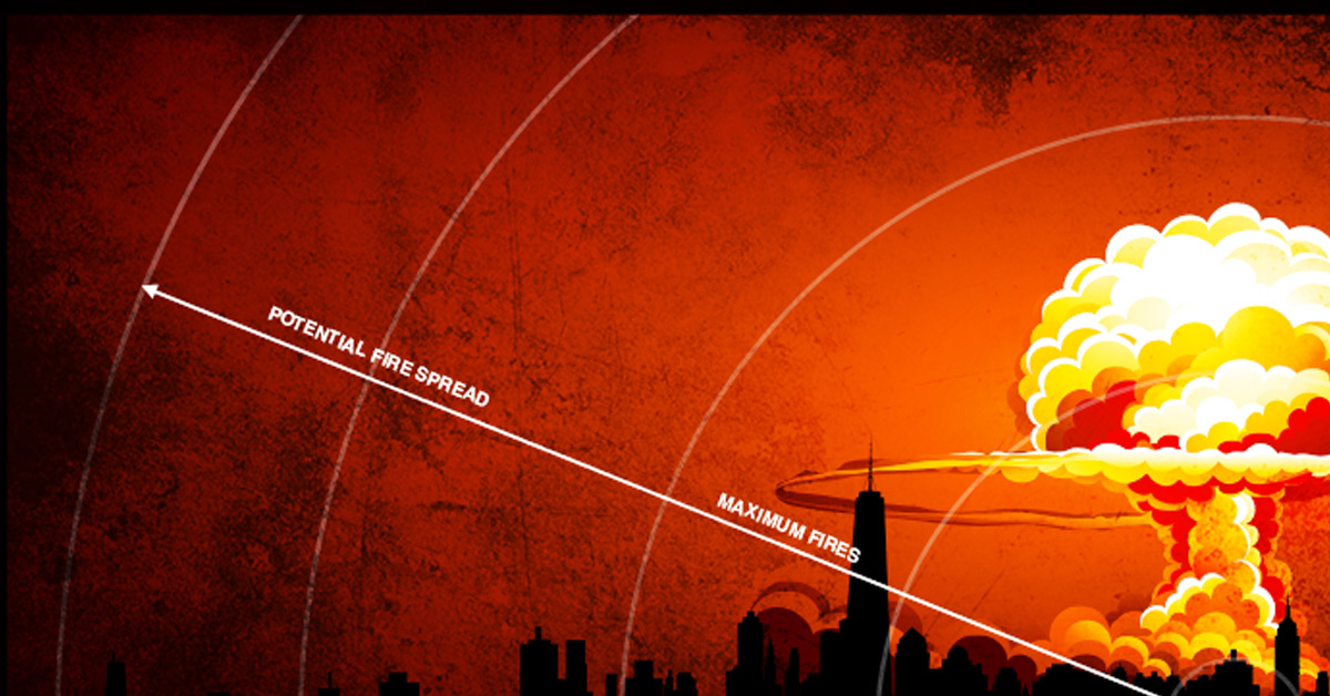
This app lets you see the destructive power of nukes on your hometown
SUMMARY
Growing up relatively close to an Air Force Major Command base toward the end of the Cold War, we were constantly reminded of one thing: If the "big one" ever came, we were among the first to be toast. But were we really? Thankfully, now there's a way to find out for sure.
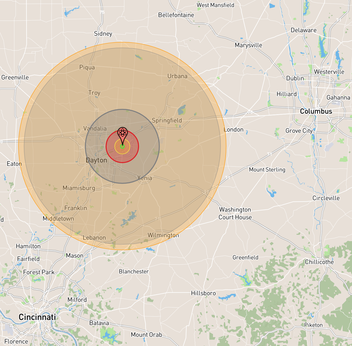
This simulation is a map of the effect of a 25-megaton strike on Wright-Patterson Air Force Base from a Soviet R-36 intercontinental ballistic missile warhead. The R-36, introduced in 1974, gave the Soviets a first-strike capability with a rapid reload ability and a missile that could carry up to 10 independently targetable warheads.
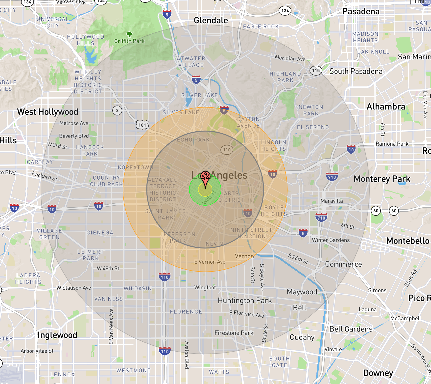
The green area represents an immediately lethal dose of radiation, the yellow represents the initial fireball burst, and the red is a 20 psi air blast, capable of completely destroying most structures and projecting a 100-percent casualty rate. The dark circles surrounding the outermost red area represent different air pressures inflicted by the blast on the local population. The orange-ish area shows where third-degree burns and other radiation injuries are likely.
Estimated fatalities number more than 319,000 with another 375,000-plus injured.
These simulations are brought to you by The Nukemap, a project created by Alex Wellerstein of the New Jersey-based Stevens Institute of Technology. Wellerstein is a professor at SIT, and his expertise is in the history of science and nuclear weapons technology. He also runs the Nuclear Secrecy Blog. Professor Wellerstein has devoted his life and career to the study of the effects of nuclear weapons on societies and geopolitics.
"The Nukemap is aimed at helping people visualize nuclear weapons on terms they can make sense of — helping them to get a sense of the scale of the bombs. By allowing people to use arbitrarily picked geographical locations, I hope that people will come to understand what a nuclear weapon would do to places they are familiar with, and how the different sizes of nuclear weapons change the results."
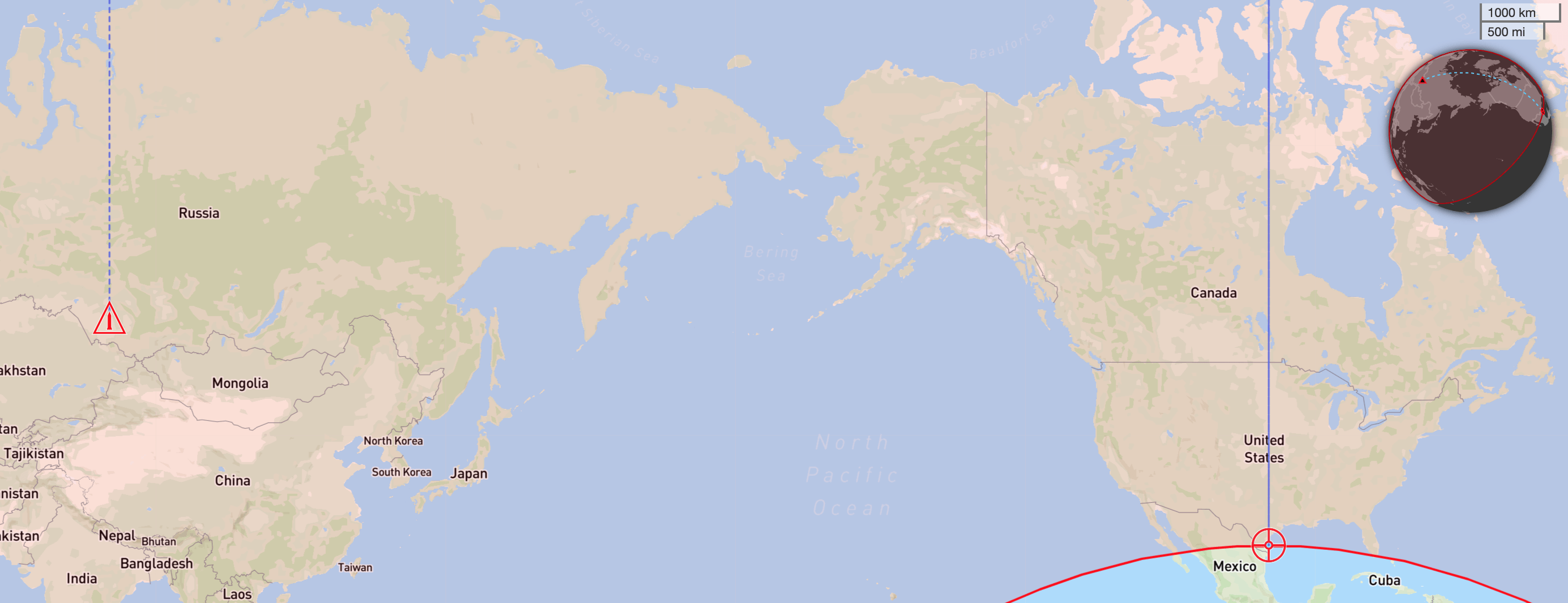
Wellerstein's previous work was the MissileMap, a way to see that a country's nuclear arsenal was even capable of hitting your hometown.
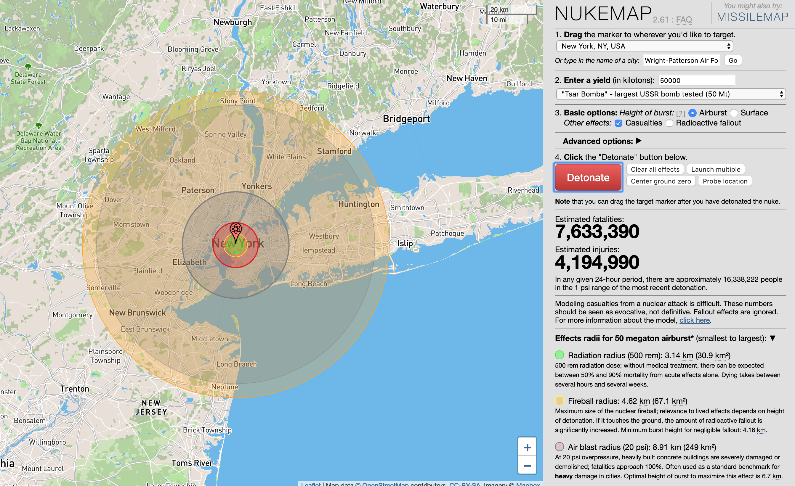
Nukemap needs the user to enter the location of the target, the yield of the warhead used, and if the explosion is a surface explosion or airburst. If you don't know anything about nuclear weapons, that's okay: there are numerous possible presets available. For example, you can target New York, Los Angeles, Chicago, and many other American cities. But since the United States and Russia aren't the only countries with nuclear capabilities, Nukemap also offers the effects of all potential nuclear attackers, including Israel, Iran, North Korea, France, Britain, India, Pakistan, Japan, and South Korea.
You can even see historical presets, from the effects of the Nagasaki and Hiroshima blasts to the Tsar Bomba, the largest nuclear device ever exploded on Earth.
SHARE