Humanity is fated to explore, colonize, and come up with new ways to assert dominance over the forces of nature. The timeline of recorded history is marked by inventions that have propelled us forward to achieve the impossible and expand our collective intelligence. The early explorers navigated the violence of the open ocean by using the stability of the heavenly bodies to guide them.
Before sailors could brave the blank spots on the map, they had to know where home was and how to find their place in the world. By charting the stars, keeping precise time, and using their honed senses, humanity was given the tools needed to explore ever outward.

(HISTORY’s ‘Vikings’)
The Vikings used known points
The vikings sailed far enough from shore to lose sight of landmasses in a time before there was a proven method of navigation. They passed down knowledge of stars, coasts, currents, navigational landmarks, and wildlife to create mental maps.
They would make notes of unique mountain formations and follow currents favored by pods of whales for feeding. They also used a plumb bob, an instrument used to determine water depth by tying a weight to a rope and plopping it into the ocean. Viking sailors navigated by using their senses: listening to the calls of seabirds, allowing them to estimate which region they were in. They’d verify their guess by tasting the water to gauge the amount of fresh water flowing into the sea.
Flóki Vilgerðarson, who appeared in HISTORY’s Vikings, was a real person who used caged ravens when traveling. When he thought land was near, he would release a raven. If it circled the boat, there was no land. If it flew away, the ship followed it towards land. This technique was adopted by other vikings who followed in the footsteps of this pioneer.
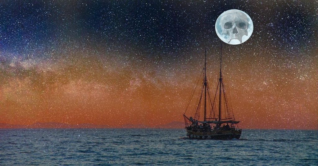
Vikings crossed the Atlantic Ocean to found colonies in Iceland, Greenland, and Vinland using these techniques and raided western Europe with impunity, without fear of sea.

Let me sing you the song of my people…
(Maui Guide)
The Polynesians used songs
The Polynesians used songs to navigate the seas, an art passed down from master to apprentice over generations. They maintained guilds on each island that would identify sources of food and directed sailors towards them in times of famine and traded this knowledge for other resources. To identify where they were, they made close observations of sea signs, just as the vikings did, and recorded extremely detailed directions in the form of song lyrics.
The guilds also safeguarded the secrets of constructing outrigger canoes capable of making long voyages across the Pacific Ocean.

With this, I will make my own empire! With blackjack — and freedom!
(ResearchGate)
The British invented the chronometer to identify latitude
Celestial navigation was turned into a science by the British. In 1714, the British government declared a prize of £20,000 be award to whomever could solve the problem of finding a ship’s current longitude position while out on the open ocean. John Harrison was clockmaker who believed the answer was in accurate timekeeping. He proved that one could find their latitude by calculating the position of the sun, moon, stars, or other celestial bodies in relations to the current time to find where you are on the globe.
Making a correct calculation required a timepiece that would not lose its accuracy due to storms, temperature changes, or manufacturing limitations. If one didn’t know the exact time, the almanacs and journals that outlined the location of celestial bodies were, basically, useless.
Harrison made the H4, a chronometer the size of a watch, and it was able to accurately keep GMS time in any clime and place, regardless of conditions. On its maiden voyage to Jamaica, it was only off by five seconds by the journey’s end.